
Ficheiro:Sweden Scania location map.svg

Tamaño desta vista previa en PNG do ficheiro en formato SVG: 663 × 600 píxeles. Outras resolucións: 265 × 240 píxeles | 531 × 480 píxeles | 849 × 768 píxeles | 1.132 × 1.024 píxeles | 2.263 × 2.048 píxeles | 2.039 × 1.845 píxeles.
Ficheiro orixinal (ficheiro SVG; resolución de 2.039 × 1.845 píxeles; tamaño do ficheiro: 185 kB)
| Este ficheiro procede de Wikimedia Commons. A continuación móstrase a información da súa páxina de descrición. Commons é un repositorio libre de ficheiros multimedia. Pode contribuír alí cargando as súas imaxes. |
Resumo
| Descrición |
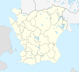
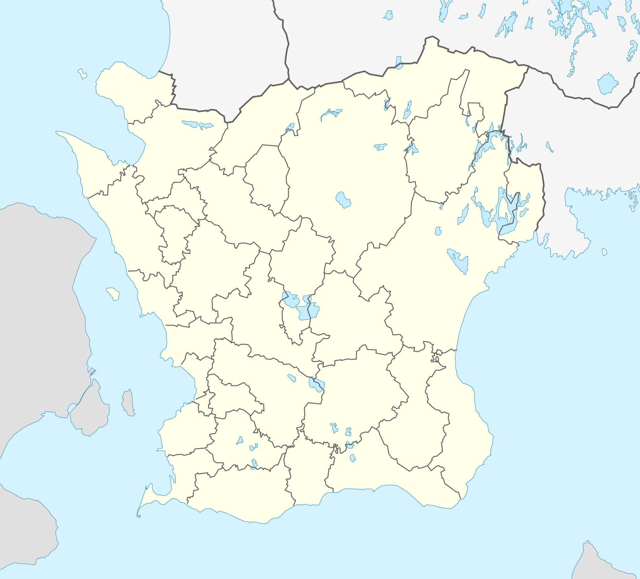
English: Location map of Scania (Skåne) in Sweden
Equirectangular projection, N/S stretching 179 %. Geographic limits of the map:
Deutsch: Positionskarte von Schonen in Schweden
Quadratische Plattkarte, N-S-Streckung 179 %. Geographische Begrenzung der Karte:
|
| Data | |
| Orixe | Obra propia |
| Autoría | Erik Frohne |
| Outras versións |
|
| SVG desenvolvimento | Esta imaxe vectorial foi creada co Inkscape |

Licenza
Eu, como posuidor dos dereitos de autor desta obra, pola presente publícoa baixo as seguintes licenzas:

|
Autorízase a copia, distribución e/ou modificación deste documento baixo os termos da licenza de documentación libre GNU, versión 1.2 ou calquera outra que posteriormente publique a Free Software Foundation; sen seccións invariables, textos de portada, nin textos de contraportada. Inclúese unha copia da devandita licenza na sección titulada GNU Free Documentation License. |
Este ficheiro está licenciado baixo a licenza Creative Commons recoñecemento 3.0 Unported.
- Vostede é libre de:
- compartir – copiar, distribuír e difundir a obra
- facer obras derivadas – adaptar a obra
- Baixo as seguintes condicións:
- recoñecemento – Debe indicar a debida atribución de autoría, fornecer unha ligazón á licenza e indicar se se realizaron cambios. Pode facer isto de calquera forma razoable, mais non nunha forma que indique que quen posúe a licenza apoia ou subscribe o seu uso da obra.
Pode seleccionar a licenza que desexe.
Historial do ficheiro
Prema nunha data/hora para ver o ficheiro tal e como estaba nese momento.
| Data/Hora | Miniatura | Dimensións | Usuario | Comentario | |
|---|---|---|---|---|---|
| actual | 3 de febreiro de 2017 ás 17:01 | | 2.039 × 1.845 (185 kB) | Silverkey | Fix municipality lines |
| 27 de xaneiro de 2009 ás 08:56 |  | 2.039 × 1.845 (172 kB) | Erik Frohne | Adjusted waterline | |
| 20 de xaneiro de 2009 ás 14:35 |  | 2.039 × 1.845 (172 kB) | Erik Frohne | Size-Upgrade and added some lakes Category:Location maps of Sweden | |
| 6 de xaneiro de 2009 ás 14:16 |  | 276 × 266 (109 kB) | Erik Frohne | {{Information |Description=Update to fit the coordinates (hopefully this should be now right) |Source= |Date= |Author= |Permission= |other_versions= }} Category:Location Maps of Sweden | |
| 6 de xaneiro de 2009 ás 13:54 |  | 276 × 250 (109 kB) | Erik Frohne | {{Information |Description= |Source= |Date= |Author= |Permission= |other_versions= }} Category:Location Maps of Sweden | |
| 6 de xaneiro de 2009 ás 12:03 |  | 276 × 212 (109 kB) | Erik Frohne | {{Information |Description= |Source= |Date= |Author= |Permission= |other_versions= }} Category:Location Maps of Sweden | |
| 5 de xaneiro de 2009 ás 23:58 |  | 750 × 574 (117 kB) | Erik Frohne | {{Information |Description= |Source= |Date= |Author= |Permission= |other_versions= }} Category:Location Maps of Sweden | |
| 5 de xaneiro de 2009 ás 23:41 |  | 750 × 574 (117 kB) | Erik Frohne | {{Information |Description={{en|1=Location map of Scania (Skåne) in Sweden Equirectangular projection, N/S stretching 190 %. Geographic limits of the map: * N: 56° 37' N * S: 55° 12' N * W: 12° 12' E * E: 15° 00' E }} {{de|1=Positionskarte von Schon |
Uso do ficheiro
A seguinte páxina usa este ficheiro:
Uso global do ficheiro
Os seguintes wikis empregan esta imaxe:
- Uso en ar.wikipedia.org
- Uso en azb.wikipedia.org
- Uso en bg.wikipedia.org
- Uso en ceb.wikipedia.org
- Uso en cs.wikipedia.org
- Uso en da.wikipedia.org
- Lund (Sverige)
- Ystad
- Borgeby slot
- Malmø
- Skanør-Falsterbo
- Landskrona slot
- Helsingborg
- Uppåkra
- Landskrona
- Kristianstad
- Trelleborg (Sverige)
- Kernen
- Kivik-graven
- Ales sten
- Glimmingehus
- Torsjö
- Mölle
- Eslöv
- Trolleholm slot
- Knutstorp borg
- Tosterup slot
- Torup slot
- Häckeberga slot
- Bollerup borg
- Krapperup slot
- Bjuv
- Billesholm borgruin
- Kulla Gunnarstorp slot
- Ljungbyhed
- Romeleåsen
- Dalby (Skåne)
- Ugerup
- Ladonia
- Vä
- Bosjökloster
- Örup slot
- Båstad
- Hässleholm
- Søderåsen
- Skarhult slott
- Övedskloster
- Tommarps kloster
Ollar o uso global deste ficheiro.